

Property card
The property card displays the known information recorded against a property, including its identifiers, physical attributes, zone, land value, and location. It also lists the valuations and sales associated with the property within VOW.
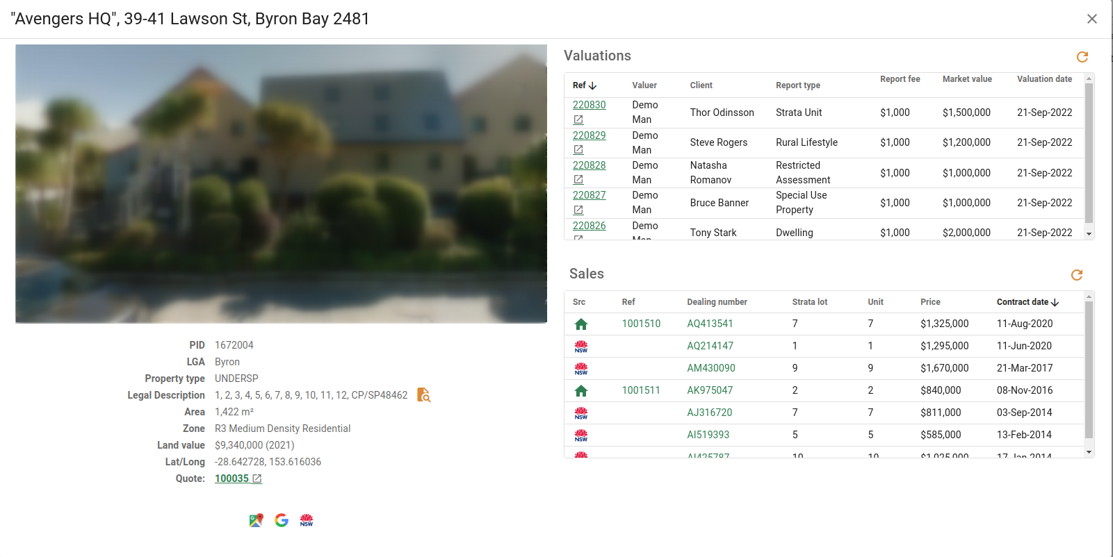
Property image
When a Google Maps API key is configured, a Google Street View image for the property address is displayed at the top of the card. When no API key is configured, or no street view image is available for the address, a No image available indicator is shown instead.
Title bar
The title bar displays the full address of the property, including the property name when one is provided.
Property details
| Field | Description |
|---|---|
| PID | The unique government property identifier. |
| LGA | The Local Government Area in which the property is located. |
| Property type | The property type as recorded in the Register of Land Values, either NORMAL or UNDERSP. |
| Legal description | The legal description of the property. The button opens a dialog to search for plan documents associated with the property. |
| Area | The land area of the property, displayed as either m² or ha. |
| Zone | The planning zone or zones assigned to the property. |
| Land value | The most recently assessed land value for the property. |
| Lat/Long | The GPS coordinates of the property. |
| Quote | The most recent quote associated with the property, shown as a link that opens the quote. Only visible when your account has access to quotes and a quote exists for the property. |
Links
The following buttons open the property address in external map and search services.
Open in Google MapsAction
Click the  button to open the property address in Google Maps in a new browser tab.
button to open the property address in Google Maps in a new browser tab.Search address on GoogleAction
Click the  button to search the property address on Google in a new browser tab.
button to search the property address on Google in a new browser tab.Open in SIX MapsAction
Click the  button to open the property in the NSW SIX Maps portal in a new browser tab. Shown only when the property has a government property identifier (PID).
button to open the property in the NSW SIX Maps portal in a new browser tab. Shown only when the property has a government property identifier (PID).Valuations list
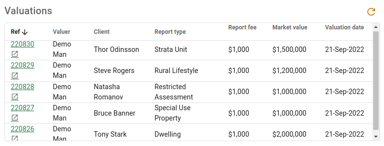
The valuations list shows all valuation jobs recorded against the property within VOW.
| Column | Description |
|---|---|
| Ref | The valuation job reference. Displayed as a link that opens the valuation. |
| Unit | The unit number of the address used on the valuation. Shown only when one or more valuations in the list have a unit number. |
| Valuer | The valuer assigned to the valuation. |
| Client | The client or organisation associated with the valuation. |
| Report type | The type of report produced for the valuation. |
| Report fee | The fee recorded against the valuation. |
| Market value | The market value determined by the valuation. |
| Valuation date | The date the valuation was carried out. |
Sales list
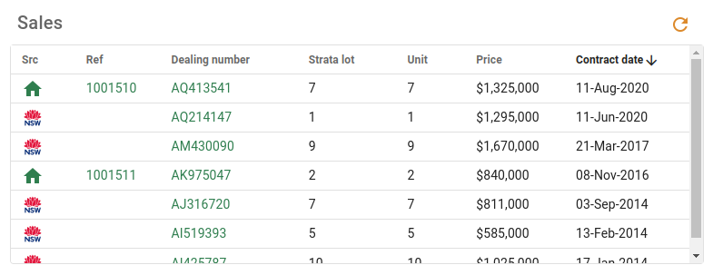
The sales list shows all sales recorded against the property within VOW. Double-clicking a row opens the sale card.
| Column | Description |
|---|---|
| Ref | The sale reference. Displayed as a link that opens the sale. |
| Src | The source of the sale record, either CX (company) or VG (government). |
| Dealing number | The dealing number recorded against the sale. |
| Strata lot | The strata lot number. Shown only when one or more sales in the list have a strata lot number. |
| Unit | The unit number of the sale address. Shown only when one or more sales in the list have a unit number. |
| Price | The sale price. |
| Contract date | The contract date of the sale. |
| Actions | The per-row action buttons available for each sale. |